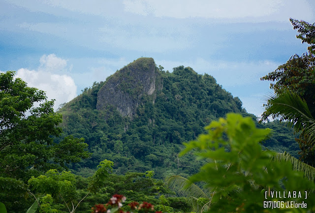
Bondari Peak - A Breathtaking Landscape

With the coordinates of 11°08’47”N 124°25’52”E, the Bondari Peak is located southeast of the municipality of Villaba Leyte and lies 3,756m away from the main barrio of Abijao. With an elevation of 341masl, the place got its name derived from the English word “boundary” because the place is located precisely along with municipalities of Villaba and Matag-ob, Leyte. And later was changed to Bondari as there’s this story where three hikers asked for the name of the place, but the children they met along Tolingon trail pronounced it wrong. Instead of ‘boundary’, they said the word ‘bondari’, and from that time on, the place retained the name Bondari.

The place is a wonderful destination with 360° breathtaking views and landscapes. Here, you’ll get a chance to see the popular Kalanggaman island, the historical Buga-buga hills, nearby towns, and the steaming Tongonan mountain range.


I usually climb to the top through the Hubasan, Butnga, and Tolingon trails, but the latter is especially recommended for novices because it is the only route that is wide, clear, and has enough potable spring water along the way.

we want to visit bondary peak but i have a daugther i want my daugther can came too.
ReplyDelete